agrility
A platform of digital tools for farmers.
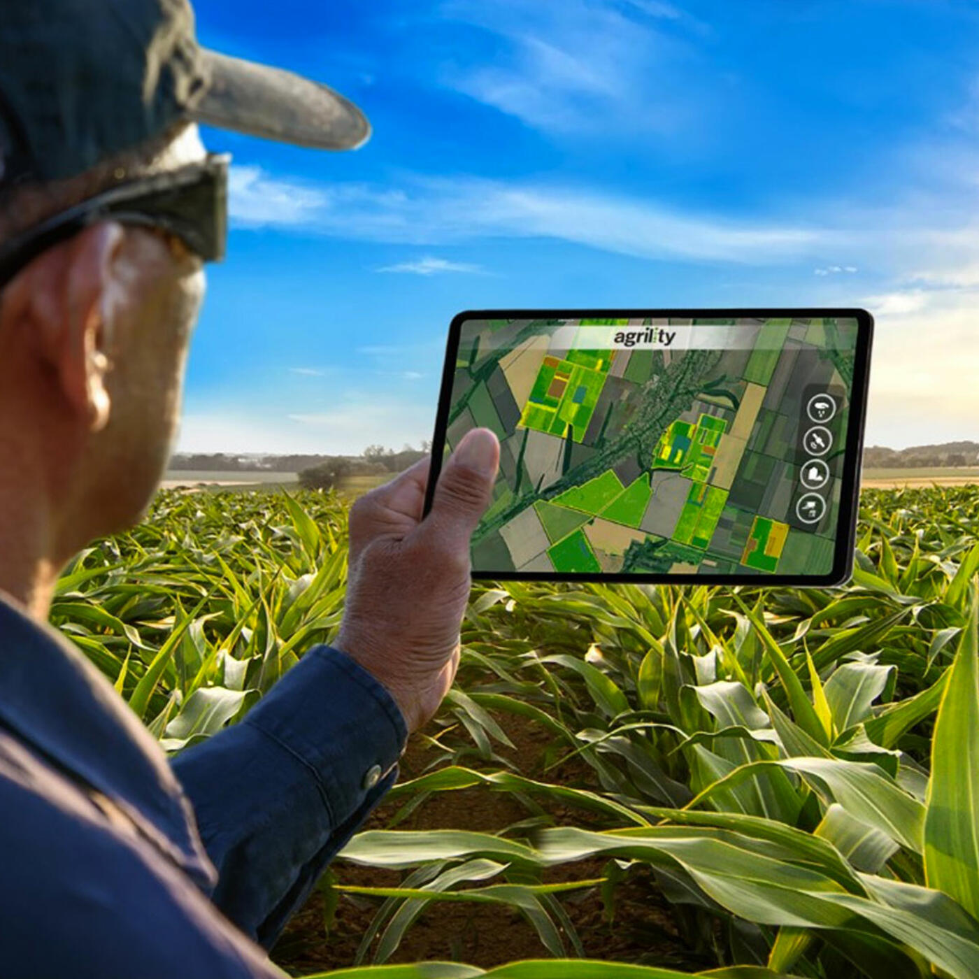
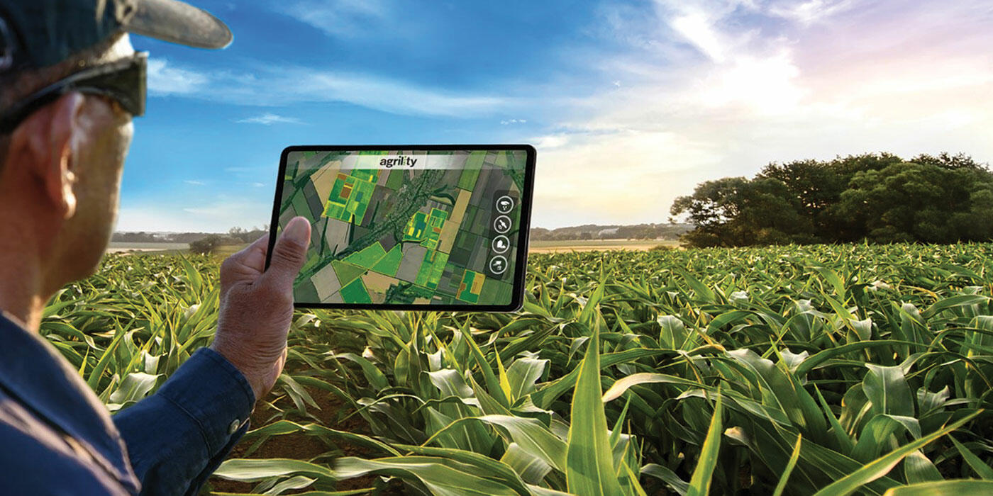

agrility is a platform of digital tools that provide services to farmers, from sowing to harvest.
By collecting pedoclimatic data and historical observations related to the plot, the platform makes it possible to develop made-to-measure solutions for farmers. agrility also has an entire team of experts behind it with skills in big data, geostatistics, agronomics, modelling, and IT, all on behalf of precision farming.
Testimonials
"The precise information I received from agrility.HARVEST allowed me to plan the harvest schedule for the different fields. As a result, the driest corn could be placed at the bottom, and the less dry corn at the top of the silo."
Bruno, a farmer in Belgium
"I want to put the right amount at the right spot.
I’m getting results of +5.3% yield with the agrility.DENSITY map. It has convinced me of the benefits of modulation."
Vincent, a farmer in France

![]()
The right density in the right zone
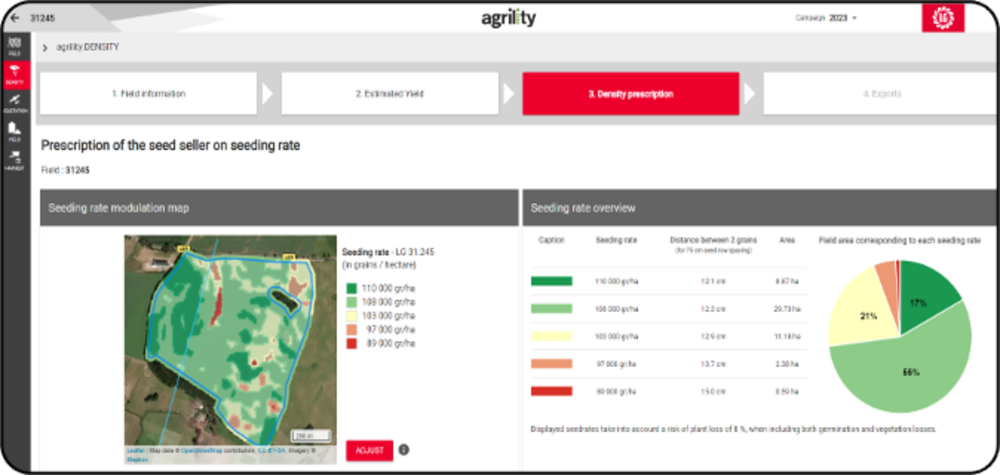
- Study of intra-field heterogeneity (soil, topography, etc.)
- Analysis of historical satellite data
- Modeling plant development
- Knowledge of variety density response
[[IMG_MOBILE]]
What this service brings you:
- Division of the field into zones with more or less high yield potential
- Determination of the optimal density in each zone
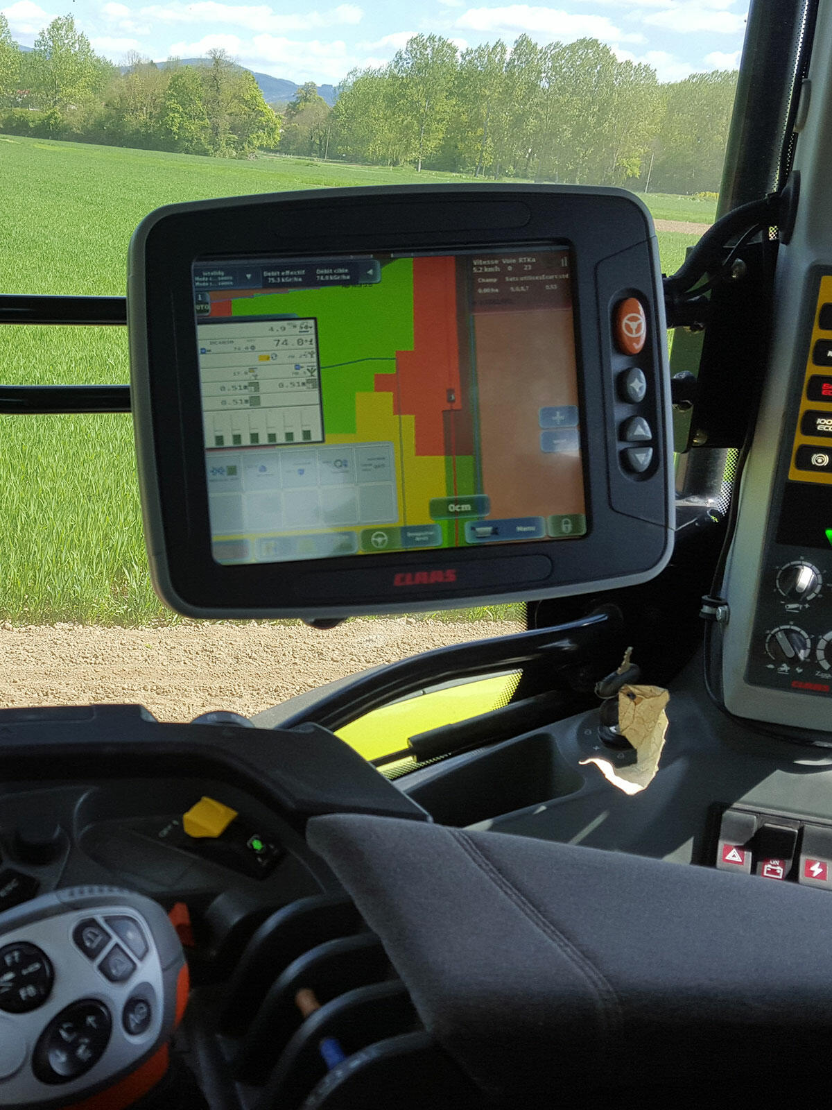
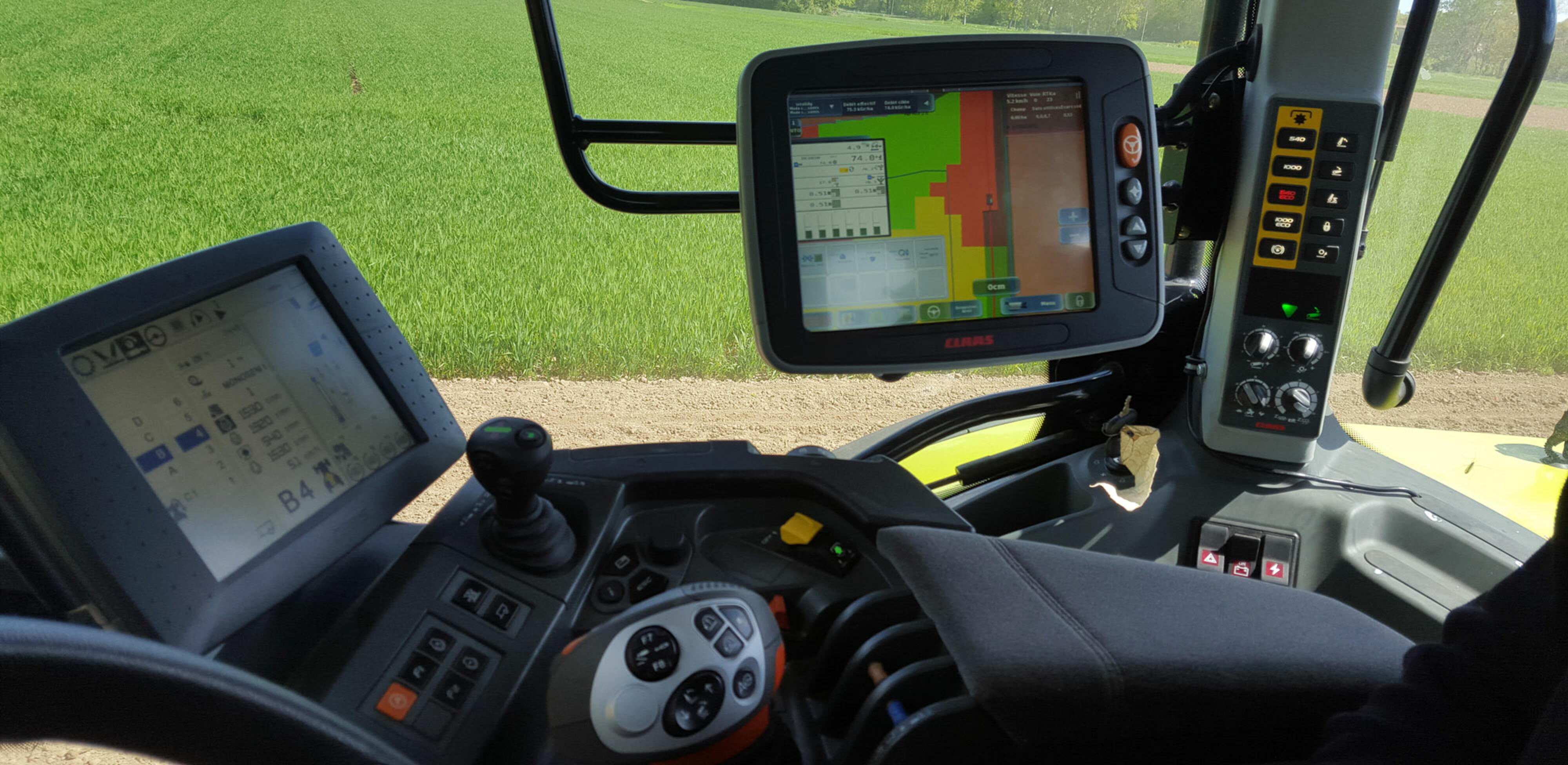
- Modulation map to download for the seeder
Yield gain while optimizing seed density with field potential.
![]()
Monitor remotely the crop development and preserve the yield potential
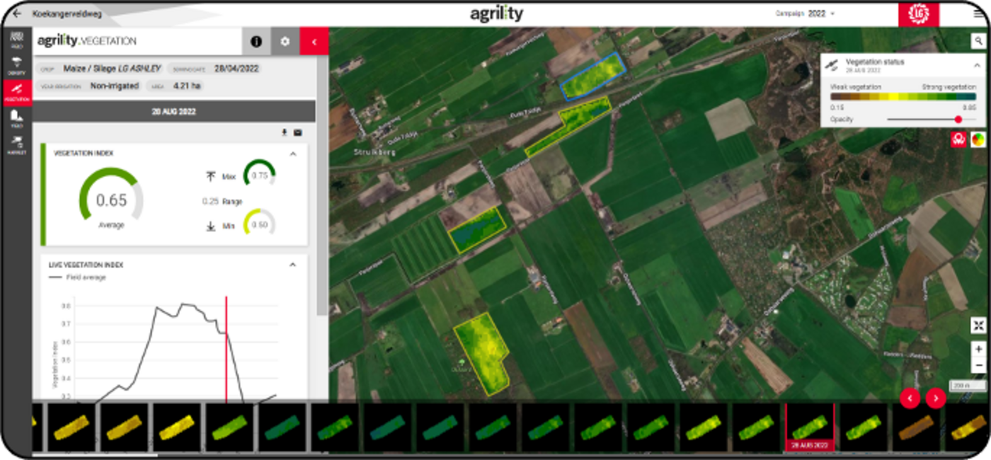
- Satellite monitoring and NDVI to follow the development of the vegetation
- Field and farm analytics to monitor the biomass status and the field heterogenity
[[IMG_MOBILE]]
What this service brings you:
- Evolution of biomass along all the campaign
Early detection of problem or stressed area.
Take action at the right time to preserve yield potential (quality & quantity).
![]()
An early and real time estimation of the yield
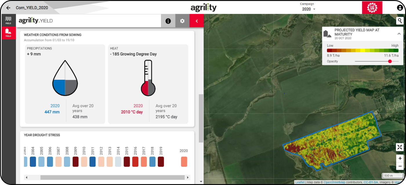
- Use of Satellite images and weather data
- Modelisation of the crop development up to maturity according to different weather scenarios
- Knowledge of varieties
[[IMG_MOBILE]]
What this service brings you:
- Daily update of the yield estimate with latest weather data
- Yield map showing the field heterogenity
Support to take action to preserve yield potential.
Organization of harvesting.
Better farm resource management and yield planning.
![]()
An early and real time estimation of harvest time
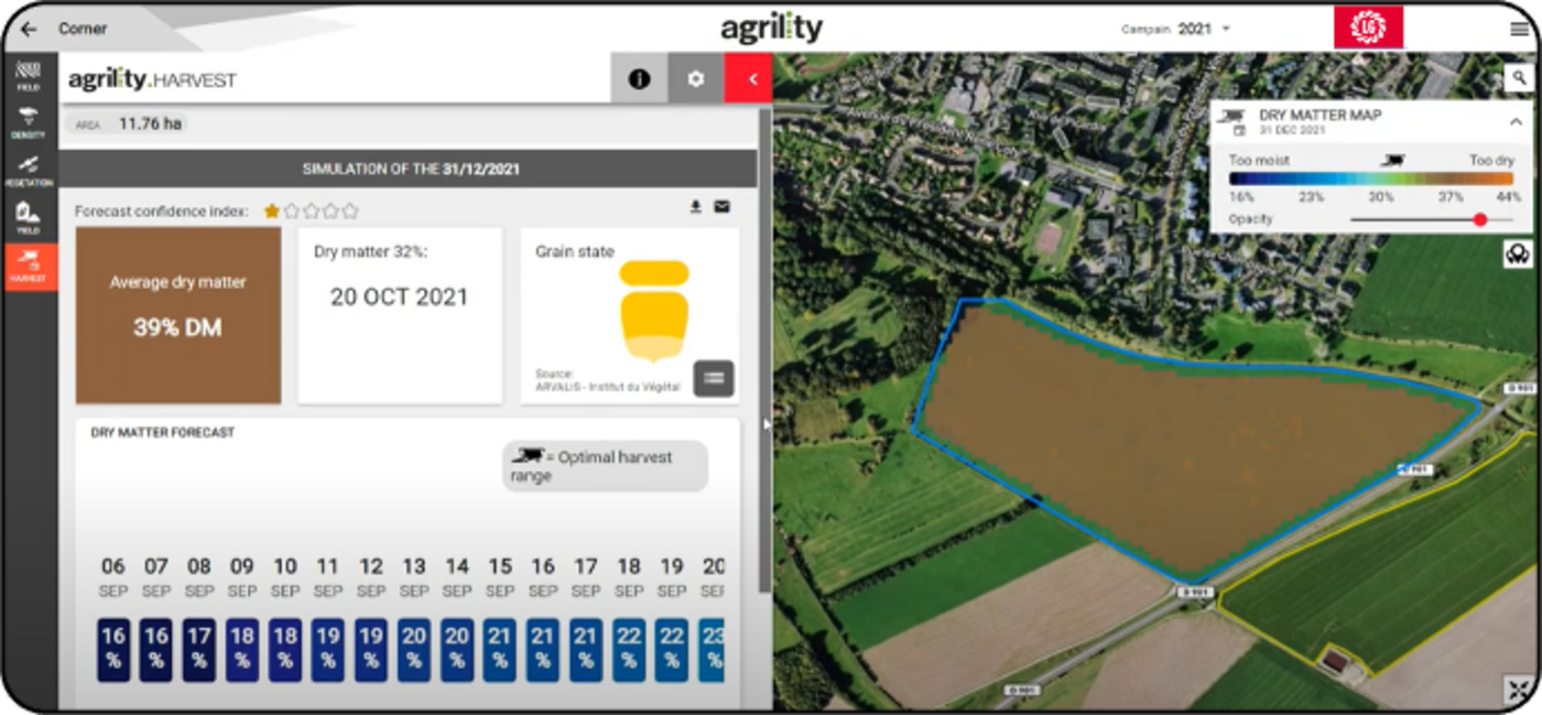
- Use of Satellite images and historical and real time weather data
- Modelisation of the crop development up to maturity
- Knowledge of varieties
[[IMG_MOBILE]]
What this service brings you:
- Daily update of the dry matter estimate with latest weather data 1 or 2 months before the harvest
- Dry matter map showing the field heterogeneity
Get the right harvest time to preserve both quantity and quality of your silo.
Plan and optimize the harvest.
Reduce your cost (preservatives and concentrates).
Location data: Leaflet | Map data © OpenStreetMap contributors, CC-BY-SA, Imagery © Mapbox

